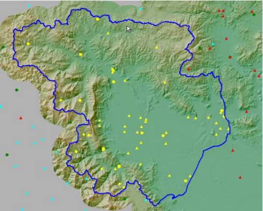
 The spatial and temporal distribution of the NDBHMI data,
necessitated the development of specialized applications
in a Geographical Information System (GIS) environment.
The main target of these systems is to provide a integrated
aproach to accessing information, processing this information
with contemporary tools which are oriented towards the
visualization of results and giving the ability of spatial search, which
is not possible through the Database tools. Beyond the simple cartographic
analysis, tools for specialized hydrological analysis were added to the
developed platform, thus shifting the burden of processing and analyzing
time series to a more handy environment, which provides the ability of
direct reviewing of the positions under study. Following the international
trends in the area of hydroinformatics, the software tools currently developed
by the NDBHMI Hydrology
Lab is either directly developed in or closely related to
the GIS environment. The system development was divided in
4 parts, which were to a degree independent. After finishing
the work in each part, these parts were joined so as
to form a unified system for managing the geographical
and hydrological information.
GIS - based Hydrological Analysis
